How's the Bay Doing?
Benthic community condition in Chesapeake Bay is assessed using a benthic index of biotic integrity (B-IBI), which evaluates the ecological condition of a sample by comparing values of key benthic community attributes to reference values expected under non-degraded conditions in similar habitat types. Probability-based sampling and the B-IBI are used to estimate the area of Chesapeake Bay with degraded bottom habitat condition.
Click here to see a map of the bottom habitat condition for each of the 2019 sampling sites.
Benthic community condition declined substantially in 2019. The level of degradation was larger than any other year since bay-wide monitoring bagan in 1996. In 2019, 59% of the Bay's tidal bottom failed to meet the Benthic Community Restoration Goals, up from 42% in 2018. Benthic community condition in the Bay improved in the previous five years of monitoring, but in 2019 large amounts of rainfall in the Chesapeake Bay watershed led to high river flows, which typically bring high nutrient runoff, sediment, and organic matter into the Chesapeake Bay.
Massive flows in the later part of 2018 and during 2019 brought more freshwater into the Chesapeake Bay in 2019 than in any of the previous 82 years. The large amount of freshwater and the nutrients that these waters carried into the Bay resulted in a 28% increase in hypoxic volume (waters with low oxygen content) relative to 2018. Also, hypoxia was recorded earlier in the year than usual. Summer hypoxic volume and the timing of hypoxia play important roles in determining benthic community condition. Hypoxia has major impacts on the survival and behaviour of benthic organisms and their predators. Despite improvements in the last 6 years, a large portion of the Bay remains degraded.

See results at right for further detail.
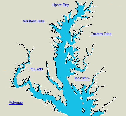
Patterns of condition within each stratum can be explored from the
interactive stratum map below.
Click on the stratum name or area for detailed results
|

